The quick answer
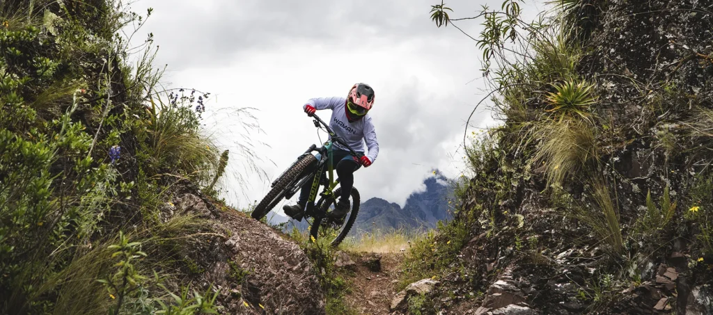
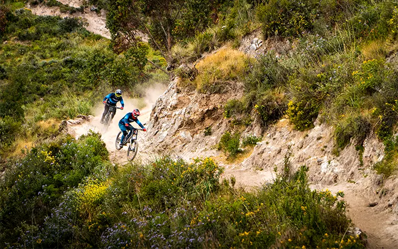
Lamay–Sapaccto is a natural enduro and downhill route in the Sacred Valley. Expect open singletrack, rock steps, blind corners and a more demanding finish. It suits riders with technical trail experience, rather than first-time mountain bikers.
01 / THE ROUTE GUIDE
What is Lamay–Sapaccto?
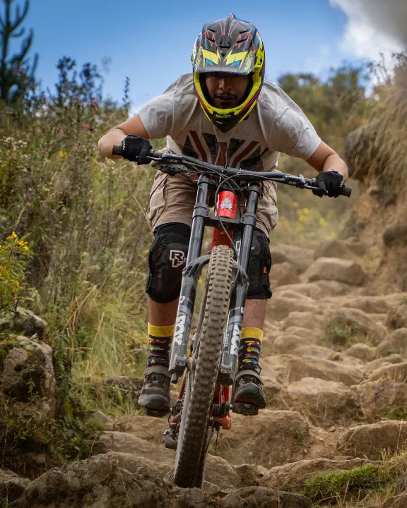
Natural terrain sets the pace here. Lamay–Sapaccto combines open singletrack with rock steps, blind corners and narrow forest sections in Peru’s Sacred Valley.
The route is described for intermediate and advanced mountain bikers who are comfortable with technical descents. It is not a beginner’s ride or a signposted bike park. Your experience on loose terrain, braking control and ability to choose a line matter more than a label alone. Explore our guide to MTB skill levels in Cusco before choosing a route.
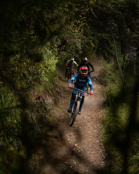
Flow to find your rhythm. Rock to sharpen your focus. Forest singletrack that keeps you reading the trail.
02 / THE ROUTE GUIDE
From Cusco to the trailhead.
The descent is in Lamay district, Calca province, in the Sacred Valley. Access starts from Cusco, continues towards Lamay and then climbs by dirt road to the Sapaccto area.
Cusco → Lamay
The published guide estimates around 50 minutes on paved roads, with views of the Vilcanota River and Andean terraces.
Lamay → Sapaccto
A further 40-minute dirt-road ascent is described. Steep gradients and tight turns call for a suitable vehicle and local route knowledge.
These are source estimates, not a confirmed pickup schedule. Road conditions, starting point and stops can change the journey time. Confirm transfers and meeting points for your departure.
The source reports no official trail signage and limited or unavailable mobile service. Do not rely on a phone signal. Confirm a current offline route and local access conditions.
03 / THE ROUTE GUIDE
A route with three distinct chapters.
The original guide divides the 7.04 km descent into three sectors. The distance bands below describe that published sequence; they are not a surveyed navigation track.
Find your flow.
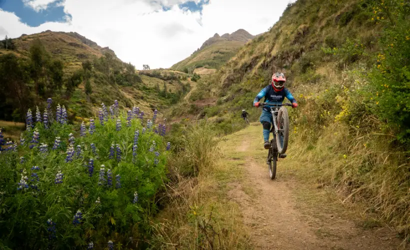
Wide singletrack and gentle climbs introduce the route. Use the opening terrain to settle into a rhythm and check how your bike responds.
Open lines · Gentle climbsThe technical heart.
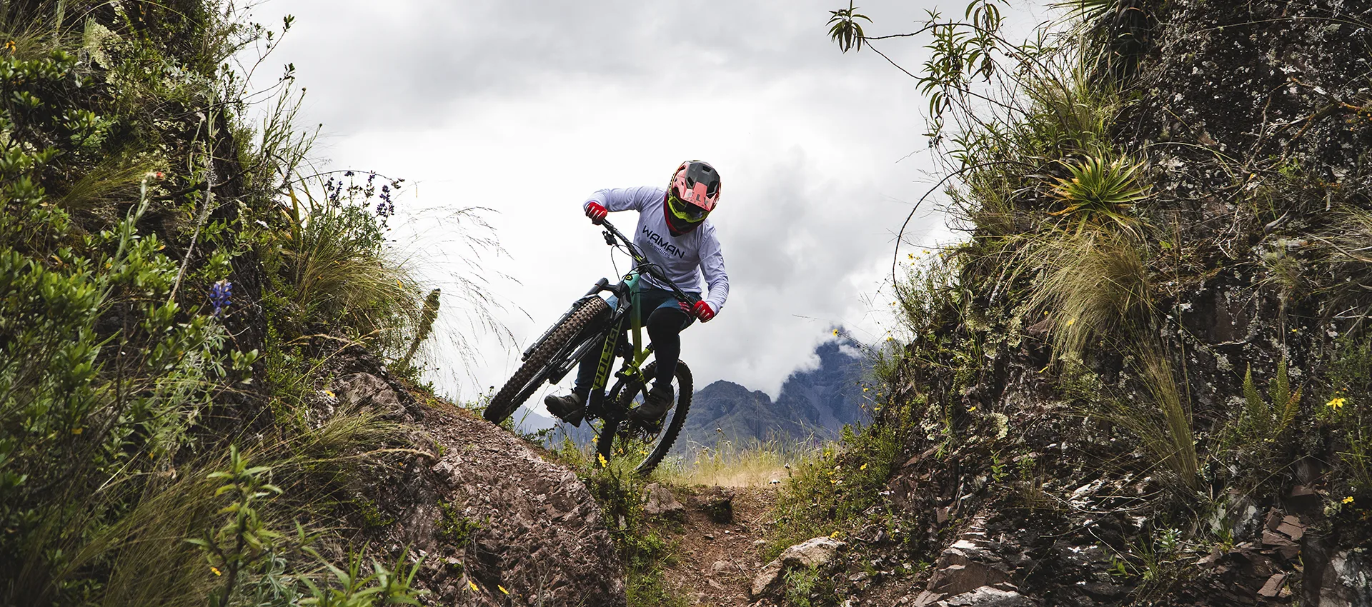
Natural rock steps, blind corners and tighter forest lines increase the demands on control and route reading. Leave space to react to what lies ahead.
Rock steps · Forest singletrackA committed finish.
The final sector is described as narrower and steeper, with rock gardens, natural wallrides and technical corners. Assess unfamiliar features before riding them.
Rock gardens · Tight cornersWhy is there no elevation profile?
The source’s start/end elevations, total ascent/descent and sector gradients do not agree. They require verification against a current route track. This prototype deliberately does not turn those figures into a misleading chart.
04 / THE ROUTE GUIDE
Prepare the bike. Protect the rider.
Confirm equipment against the current trail conditions and the exact tour or rental you choose. The following reflects the published guide’s recommendations, rather than a promise that every package includes each item.
Built for technical terrain.
- Full-suspension enduro or downhill bike; the source recommends at least 160 mm of travel.
- Hydraulic brakes and suitable tires with reliable grip.
- The source suggests 4-piston brakes with 200 mm front and 180 mm rear rotors; confirm a compatible setup with your bike provider.
- A checked drivetrain, tires and suspension before setting out.
Ready before the descent.
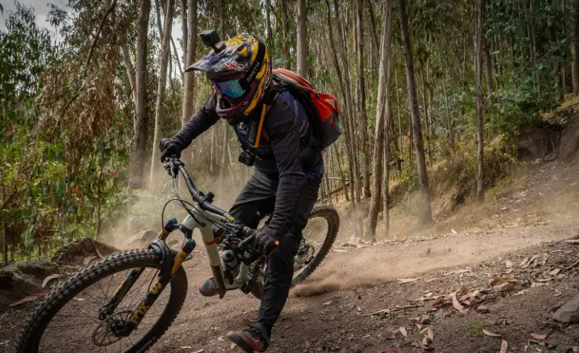
- Full-face helmet, eye protection and full-finger gloves.
- Knee and elbow protection; the guide also recommends a chest protector.
- Spare tube, multi-tool and a weather layer.
- Water and food suited to the full outing, including transfers and possible delays.
Ask what is included, what sizes are available and what you need to bring. A route description is not a substitute for checking the bike and discussing your experience with the guiding team. Read more about downhill bike setup.
05 / THE ROUTE GUIDE
Choose the conditions, not just the date.
The original guide uses May–September for the drier season and October–April for the wetter season. These seasonal windows are planning context, not a forecast or a guarantee of trail access.
Drier months
Often chosen for more predictable riding conditions and clearer views. Dust and loose surfaces can still affect control.
Wetter months
Mud, wet roots and reduced visibility can make technical riding more demanding. Grip varies by surface; rain does not guarantee better traction on rock.
Check recent weather, trail condition and local access with the team before committing to a ride. Experience on wet technical terrain is especially important when conditions deteriorate. Explore our seasonal mountain biking guide for more context.
06 / THE ROUTE GUIDE
Find the route that fits your riding.
Use these guides to explore different terrain, then discuss suitability for your experience. Difficulty labels are not a guarantee that a route will be appropriate on a particular day.
07 / THE ROUTE GUIDE
Pause for the valley. Plan beyond the photos.
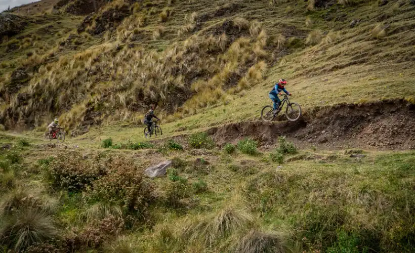
The published guide highlights Andean viewpoints, views towards Apu Chicón and forest rock-step sections. Stop only where it is appropriate and keep the riding line clear.
- Open mountain views: look for a safe place to pause and take in the Sacred Valley.
- Forest and rock features: plan any filming without distracting riders or obstructing the trail.
- POV and drone footage: confirm permissions and applicable restrictions before recording or flying.
08 / THE ROUTE GUIDE
Before you ride. Your questions, answered.
Is Lamay–Sapaccto suitable for beginners?
No. The source describes a technical route for intermediate and advanced riders, with rock steps, blind corners, loose terrain and rock gardens. Discuss your actual experience before choosing it.
What type of bike should I use?
The guide recommends a full-suspension enduro or downhill bike with suitable brakes and tires. Its suggested minimum travel is 160 mm. Confirm setup, condition and available sizes with your provider.
Can I ride during the rainy season?
Conditions can be more demanding because of mud, wet roots and visibility. Ask about current access and trail conditions; a season label alone cannot establish whether a ride is suitable.
Is the trail signposted?
The published article reports no official signage and limited or unavailable mobile reception. Arrange reliable offline navigation and local route advice before setting out.
Can I rent an enduro or downhill bike?
Ask Peru Biking Tours about bike availability for your dates, size and chosen route. Confirm whether the selected tour includes a bike or whether a separate rental arrangement is possible.
What about leaving a vehicle at the trailhead?
The source advises against leaving a vehicle unattended. Discuss pickup, drop-off and transport arrangements with your provider rather than assuming a secure parking area is available.
Can I record the ride with a GoPro or drone?
Plan filming so it does not compromise riding or block the trail. Check local permissions and any applicable drone restrictions. Ask the team about suitable places to stop.
Should I go with a guide?
Local guidance is strongly recommended if you do not know the route, particularly given the navigation and signal limitations described. Confirm who will guide your departure and what support is included.

Maribel Villalobos
Maribel’s published biography describes a background in art, language and travel storytelling. This article is published by Peru Biking Tours.
View author profile ↗